Specifications for the Quicksilver MX Ultralight aircraft
Weight and balance and airfoil information on The Quicksilver MX Ultralight
Flying videos and still photos
Winter videos and photos
Ultrapanel design project

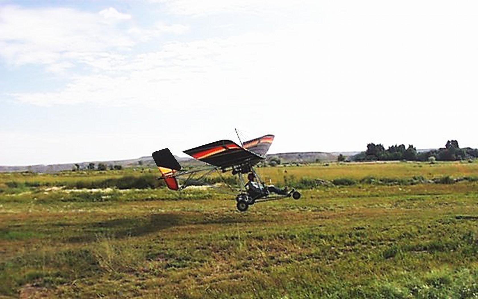
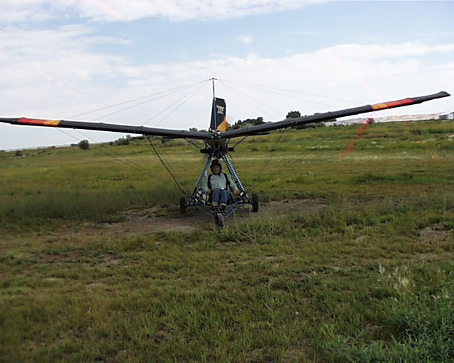
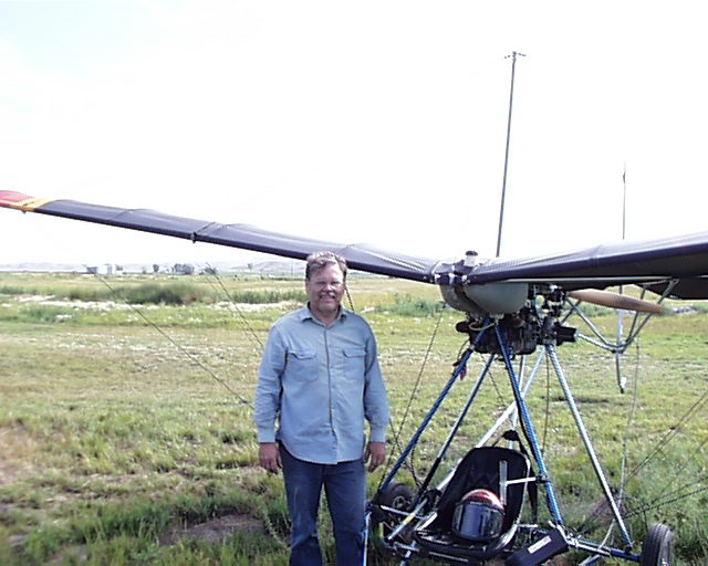
My first day flying the MX teaching myself to fly.
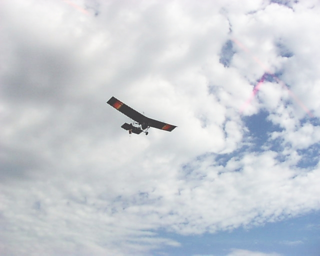
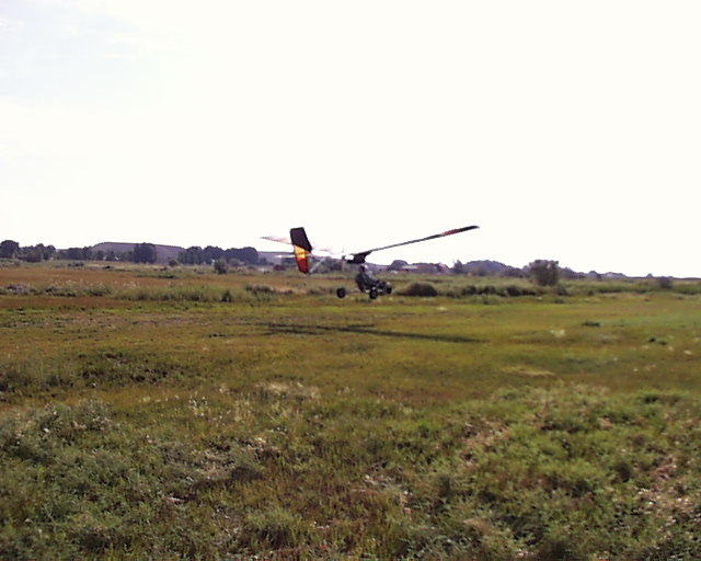
This was my first time around the pattern. And my first solo.
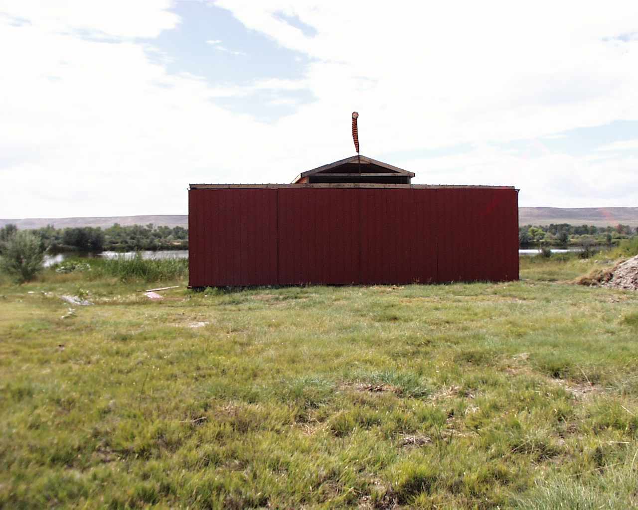
A "T" hanger with 4 bi fold doors.
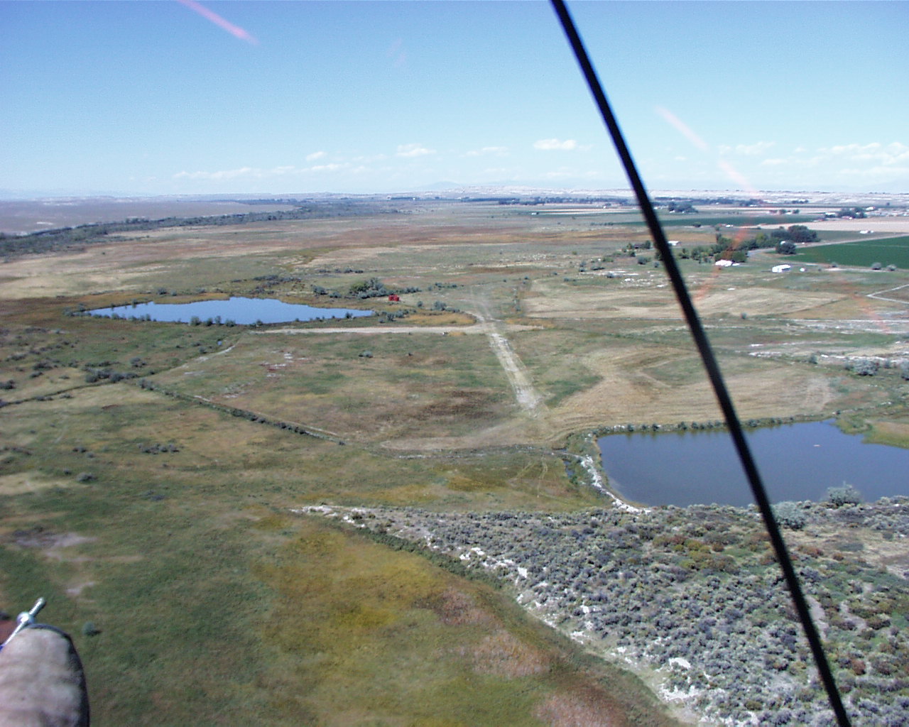
The runway is 1800' long heading 33/15, Alt 5060'. The West half is good but the East half is only 25' to 30' wide. The cross wind is 575' long. The east end of 33 and the south half of the cross wind are a bit rough.
The "Twin lakes" airfield is located 3 miles SW of Riverton Regional Airport, Riverton Wyoming between a 2 1/2 acre lake and an 8 acre lake. The Wind River runs South of the lakes. The trees in the background surround the river.
By road, from Riverton go 6 miles west on Riverview turn left on gravel road - Grandview Ct then 400' south and through the chainlink gate and 1/4 mile to the hanger.
Visitors are welcome but please check with me first for the condition of the runway.
Lat 43° 02'N Long 108° 31'W.
Chuck Hoelzen, Aug 3, 2007
(307) 857-4174
2016 photos of hanger construction
The mountians in the distance are 70 miles away. Sorry for all the smoke. The forest fires have cut the view way down from the normal 150+ miles. Be careful of the mountian wave. The dotted line of clouds is a warning of the wave. I pulled over 5 Gs in a friend's Piper in these waves 20 years ago. We lost 2500' in 10 seconds.
The Wind River mountians are 25 miles South (left of this photo). You can just make out the west end of the mountian range75 miles away in the far left.
The Wind River is the green line of trees at the left.
The Red T hanger can be seen just left of center.
Click on image for large view
Sep. 15, 2007